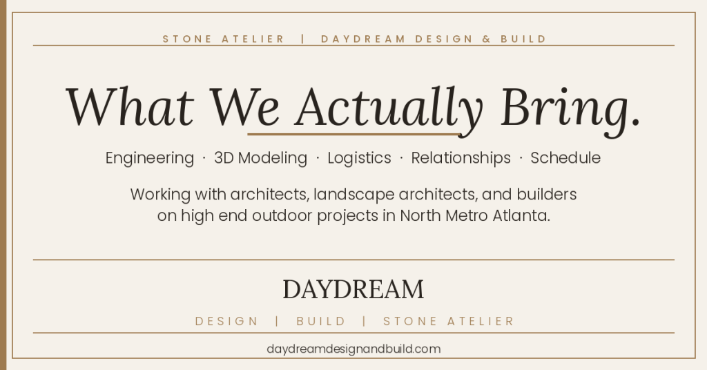
In the age of AI, anyone can generate a design. Not everyone can verify one.
AI design tools are getting better every month. Take a photo of your backyard, upload it to an app, and within seconds you have a rendered outdoor living space that looks exactly like what you want. Pools, patios, outdoor kitchens, fire features — all of it visualized instantly.
The problem is not the rendering. The problem is what the rendering does not know. It does not know your grade changes. It does not know where your trees are rooted. It does not know your setbacks, your easements, your drainage patterns, or what is buried under your lawn. A rendering is a picture of a possibility. It is not a plan.
At Daydream Design and Build, before we design anything, we verify the site. That verification process is what allows us to tell you, with confidence — whether your design goals can actually be achieved in the space you have.
Why Site Verification Matters for Outdoor Living Projects
High end outdoor living projects in North Metro Atlanta involve real constraints. Grade changes affect drainage, material thickness, and structural requirements. Tree canopy determines what can be built and where. Setbacks and easements define the buildable area. Existing underground utilities, drainage infrastructure, and soil conditions all influence design decisions.
When those constraints are not accounted for in the design phase, they show up as problems during construction. Change orders. Delays. Budget overruns. Design compromises that were avoidable if the site had been properly documented before the design was locked.
Our site verification process eliminates most of those surprises before they happen.
Step One: The Licensed Survey
Every project we work on requires an updated survey from a licensed surveyor. This is not optional and it is not something we provide. We require it from the client before design begins.
The survey must include boundary lines, topography, tree locations, setbacks, and easements. This is the legal and dimensional foundation that everything else is built on. Without an accurate survey, no site model is reliable.
We also require the survey in .dwg file format so it can be imported directly into our modeling environment. This gets our team moving immediately without manual re-drafting or interpretation errors.
Step Two: FAA Part 107 Drone Photogrammetry
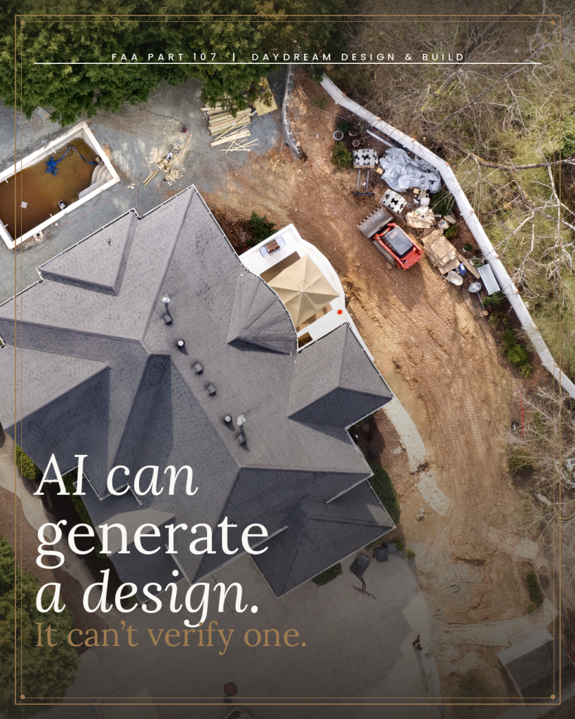
Once we have the survey, we go to the site. Our team holds FAA Part 107 Remote Pilot certification and we fly every project site with a drone equipped for photogrammetric mapping.
Drone photogrammetry works by capturing hundreds of overlapping images from precise altitudes and angles, then processing those images into a georeferenced point cloud and 3D surface model. The result is a centimeter-accurate representation of the site as it exists — every grade change, every elevation transition, every feature that the survey captures in two dimensions now visible in three.
This point cloud is layered with the survey data to create a complete site model. We can measure distances, calculate grade percentages, identify drainage flow paths, and verify sight lines — all before a single design decision is made.
Step Three: SLAM LiDAR Scanning for Complex Sites
Drone photogrammetry has one limitation. It cannot see through tree canopy. On sites with heavy tree coverage, the aerial imagery captures the tops of the trees but misses what is happening at ground level beneath them.
For those sites, we deploy SLAM LiDAR scanners. SLAM stands for Simultaneous Localization and Mapping. These scanners emit laser pulses in all directions and measure the return time to build a dense three-dimensional point cloud of everything the scanner can see — including ground surfaces, root structures, and grade transitions beneath a canopy that aerial photography cannot penetrate.
The LiDAR scan data is registered to the drone photogrammetry model and the survey, creating a complete and accurate representation of the site regardless of tree coverage. According to the American Society for Photogrammetry and Remote Sensing, LiDAR ground point classification under canopy consistently outperforms photogrammetric methods for terrain accuracy in forested environments.
How We Use the Data to Verify Your Design Goals
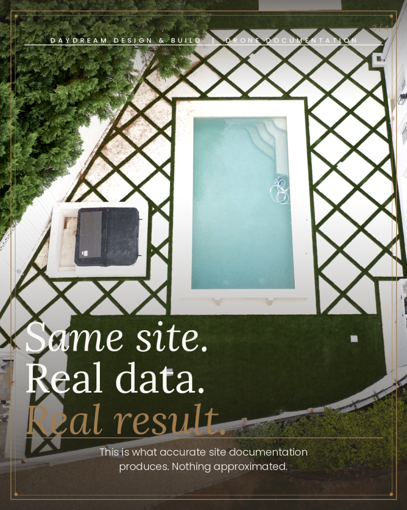
Once the site model is complete, we can test your design goals against real conditions before any design work begins. Here is what that verification process looks like in practice:
Grade feasibility. We can calculate whether a proposed terrace, retaining wall, or pool deck can be achieved at a given elevation without excessive cut and fill. We identify where grade transitions require structural solutions and what those solutions will cost before they become change orders.
Setback and easement compliance. We overlay your survey setbacks and easements on the site model and confirm that the proposed design footprint stays within the buildable area. This catches compliance issues before they reach the permit desk.
Tree impact analysis. We map existing tree canopy and root zones against the proposed design. We can identify which trees are at risk from construction activity, which ones require protection plans, and whether the design needs to be adjusted to preserve trees that are protected by local ordinance.
Drainage and stormwater. We model site drainage patterns against the proposed design to identify where water moves, where it pools, and whether the proposed hardscape creates new drainage challenges that need to be addressed in the design.
Sight lines and spatial relationships. We can verify that the proportions and spatial relationships in the design read correctly at full scale on the actual site. A pool that looks right in a rendering can feel wrong in a real space with specific dimensions and topography. The site model lets us check that before construction.

The Result: Confidence Before Construction Starts
By the time we complete the site verification process, we can tell you with confidence whether your design goals are achievable, what the constraints are, and where the design needs to account for site conditions that a rendering or an AI tool would never know about.
That confidence is what protects your budget, your timeline, and the design outcome. Projects that are verified before they are designed finish closer to schedule and closer to budget than projects that discover site constraints in the field.
If you are planning an outdoor living project in North Metro Atlanta and you want to know whether your goals are achievable before you commit to a design, that conversation starts with us.